


Geophysical Surveys
During the designing phase of a project the knowledge of the geology, hydrogeology and non visible elements plays a crucial role in the assessment and mitigation of the project risks.
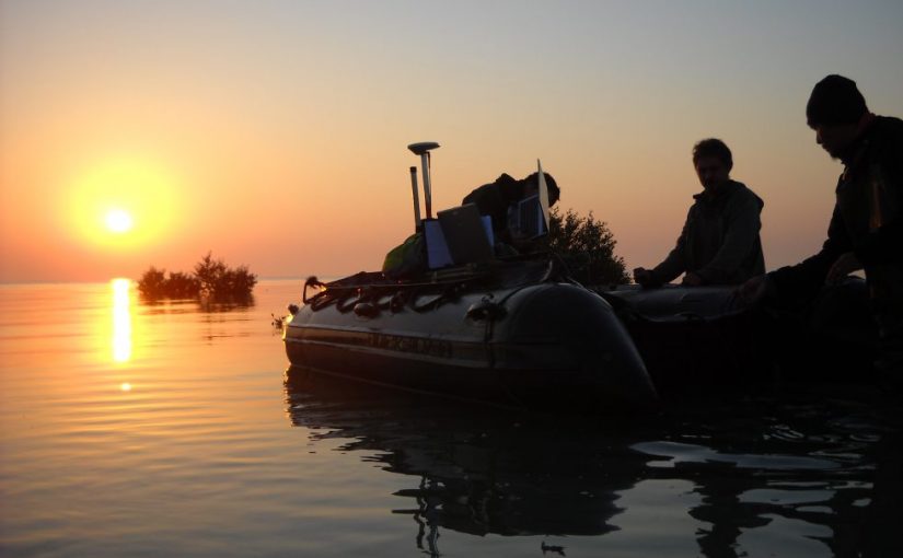
Img Field Geophysics Department enables you to manage your project risks by providing you with state-of-the-art data acquisition and consulting services. In regions of the world with geotechnical, environmental and climatic complexities we deliver a professional service by combining our in-house geological and geophysical surveying capabilities with our experienced partners and professionals.
IMG geophysical survey services are available around the world and our specific capabilities include:
- Ground probing radar (GPR)
- Electrical resistivity tomography (ERT)
- Seismic reflection
- Seismic refraction and tomography
- Surface wave seismic methods including multichannel analysis of surface waves (MASW)
- VSP and check shot seismic
- Refraction micro tremor (ReMi)
- Borehole seismic methods including tomography
- Wireline logging (petrophysical, borehole imaging, hydraulic)
- Cavity imaging
- Electromagnetic conductivity techniques
- Review of existing data, technical, geological, air photos and satellite imagery.
- Gis-based Integration of data sets to create a preliminary, GIS-based geological model
- Magcone (UXO)